
Key Highlights
- Western Washington is bracing for several storm systems bringing heavy mountain snow and gusty winds.
- The most widespread impacts are expected Wednesday, with heavier rain, stronger winds, and continued mountain snowfall.
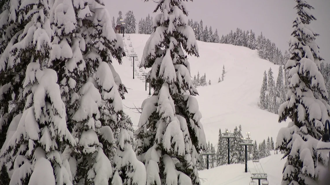
- A Winter Storm Warning has been issued for the Cascade Mountains, predicting 12 to 18 inches of snow in some areas.
- Travel across mountain passes could become difficult due to heavy snow and wind gusts up to 35 mph.
The Storms Are Coming: Western Washington’s Winter Warning
You might think this is new, but the Pacific Northwest knows all too well what it’s like when winter storms roll in. This week, the Cascades are on high alert for a series of powerful storm systems that are set to bring heavy mountain snow and gusty winds.
Wednesday’s Forecast: A Blizzard Warning
The big one is expected Wednesday. The weather model shows a convergence zone over King and Snohomish counties, setting the stage for additional heavy showers in those areas but significant snowfall at Stevens Pass. As colder air moves into the region, it will push snow levels down to around 3,000 feet.
Travel across mountain passes could become quite challenging with wind gusts up to 35 mph. And if you’re a lowland dweller, prepare for rain that might turn heavy at times, especially Wednesday when the rain and snow mix will make commutes tricky.
Mountain Communities Prepare
In the mountains, communities are expecting ongoing heavy snowfall. Snow levels may rise to about 2,500 to 3,000 feet on Wednesday, with some areas briefly seeing a rain-and-snow mix or short bursts of wet snow. While these conditions won’t lead to widespread disruptions in the lowlands, minor impacts remain possible in foothill areas.
Travelers, especially those heading over mountain passes, should prepare for winter driving conditions and monitor the latest forecasts throughout the week. The First Alert Weather Team will bring you the latest information to keep you and your family safe during this event.
The Big Picture: An Unsettled Pattern
The unsettled weather pattern is expected to continue Monday and Tuesday, with colder air increasing the chance for a rain-and-snow mix in lowland areas. Overnight temperatures will hover near freezing, while daytime highs should reach the 40s. By Friday, the region could see significant precipitation totals: lowlands getting up to 3 inches of rain, coastal areas and Olympics 2 to 4 inches, and mountains 2 to 5 feet of snow.
So, if you’re in Western Washington or planning a trip there this week, it’s wise to have your winter gear ready.
These storms could be more than just a nuisance; they might seriously disrupt travel plans. Keep an eye on the forecast and stay informed. After all, in the Pacific Northwest, being prepared is key.