
Key Highlights
- A Winter Storm Warning is in effect for Oregon and Washington Cascades with up to 4 feet of snow expected.
- Highway passes will see winter driving conditions due to heavy snowfall.
- ODOT recommends carrying chains or traction devices when traveling over highway passes.
- The snow level is generally about 1,000 feet below the freezing level at 3,694 feet measured this morning in Salem.
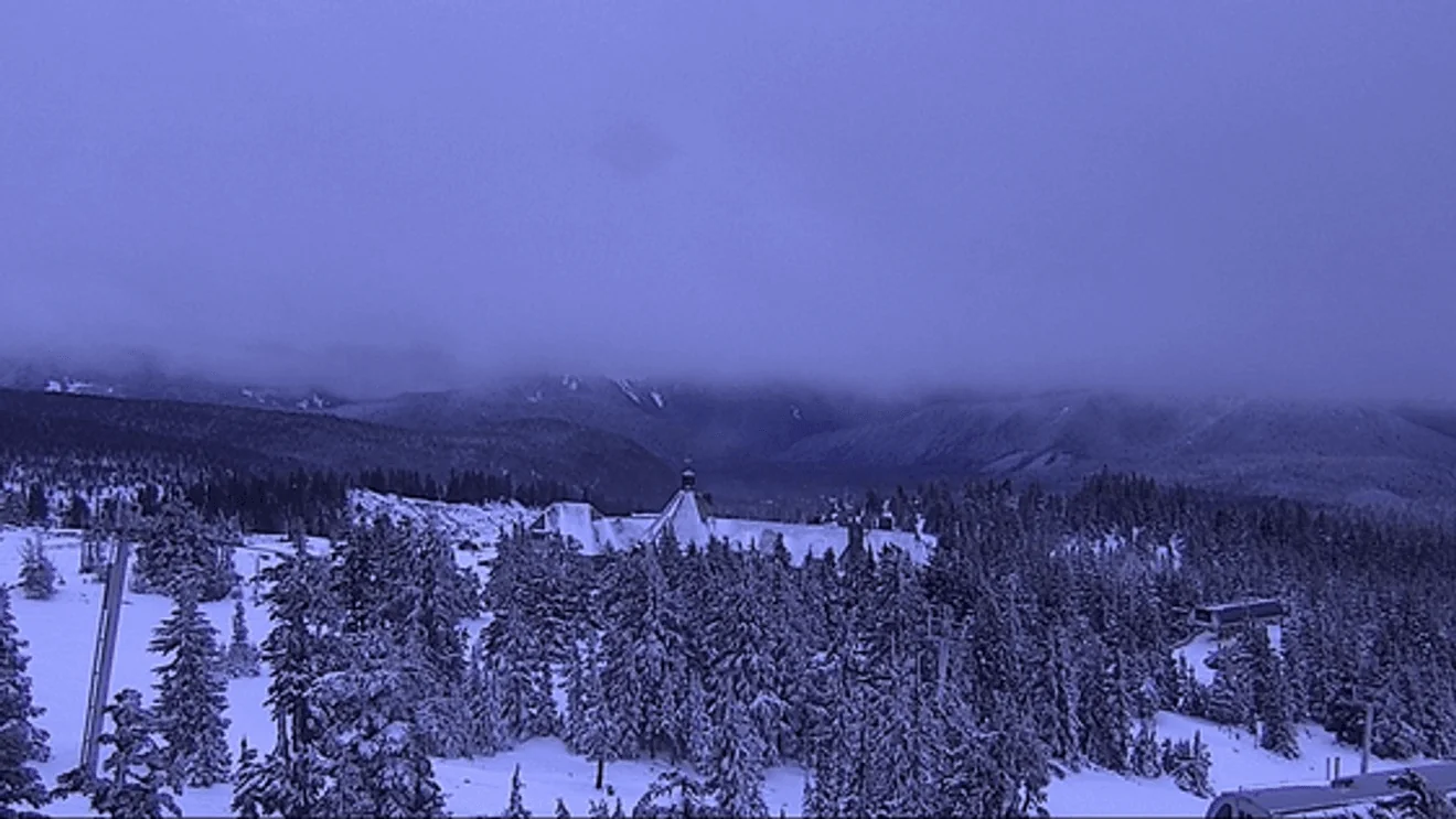
Winter Storm Brings Heavy Snowfall to Oregon and Washington Cascades
A Winter Storm Warning has been issued for the Oregon and Washington Cascades, with a significant amount of snow expected over the next 48 hours. The forecast predicts between two and four feet of fresh powder across the region, making travel conditions challenging in several areas.
Impacts on Highway Passes
The heavy snowfall will significantly impact highway passes, leading to difficult driving conditions for commuters and travelers. The Oregon Department of Transportation (ODOT) has issued a reminder that vehicles traveling over highway passes should be equipped with chains or traction devices to ensure safety.
Forecast Details
Bobby Corser, Storm Tracker 2 Digital Meteorologist, highlighted the expected snowfall in specific regions. He stated, “Two to three feet of fresh snow will fall on Mt. Hood and south Washington Cascade peaks through Thursday.” The forecast also indicates that one to two feet of snow could accumulate over Santiam and Willamette passes during the same period.
The freezing level has been measured at 3,694 feet this morning in Salem, with the snow level generally about 1,000 feet below. Additionally, forecasters are expecting wind gusts up to 30 mph on Tuesday and Tuesday night, adding another layer of difficulty for travelers.
Timeline of Events
The snowfall is expected to continue through Thursday morning, but the snow level will rise to around 5,000 feet by Sunday. Weather experts predict that this elevated snow level could remain above pass levels through next Monday.
In Portland, conditions are slightly different with rain expected to pick up throughout the day, transitioning into showers on Wednesday morning. High temperatures today and Wednesday are forecasted to reach the mid-40s, providing a stark contrast to the colder weather in the Cascades region.
Preparation and Safety Tips
To prepare for these challenging winter conditions, drivers should ensure their vehicles are equipped with appropriate traction devices. ODOT advises that chains or other forms of tire traction are necessary to navigate safely over highway passes. Travelers are encouraged to check road conditions before setting out and plan alternative routes if possible.
Local authorities are closely monitoring the situation and will provide updates as needed.
Residents and travelers in the affected areas should stay informed through local news sources and weather apps for the latest information on road closures and other safety measures.
The Winter Storm Warning underscores the importance of preparedness during severe weather events, particularly when traveling over high-altitude passes where heavy snowfall can quickly create hazardous conditions. Stay safe and be mindful of your travel plans as you navigate through these challenging winter weather conditions in the Oregon and Washington Cascades.