
Key Highlights
- Blizzard warnings are in effect for all of Connecticut.
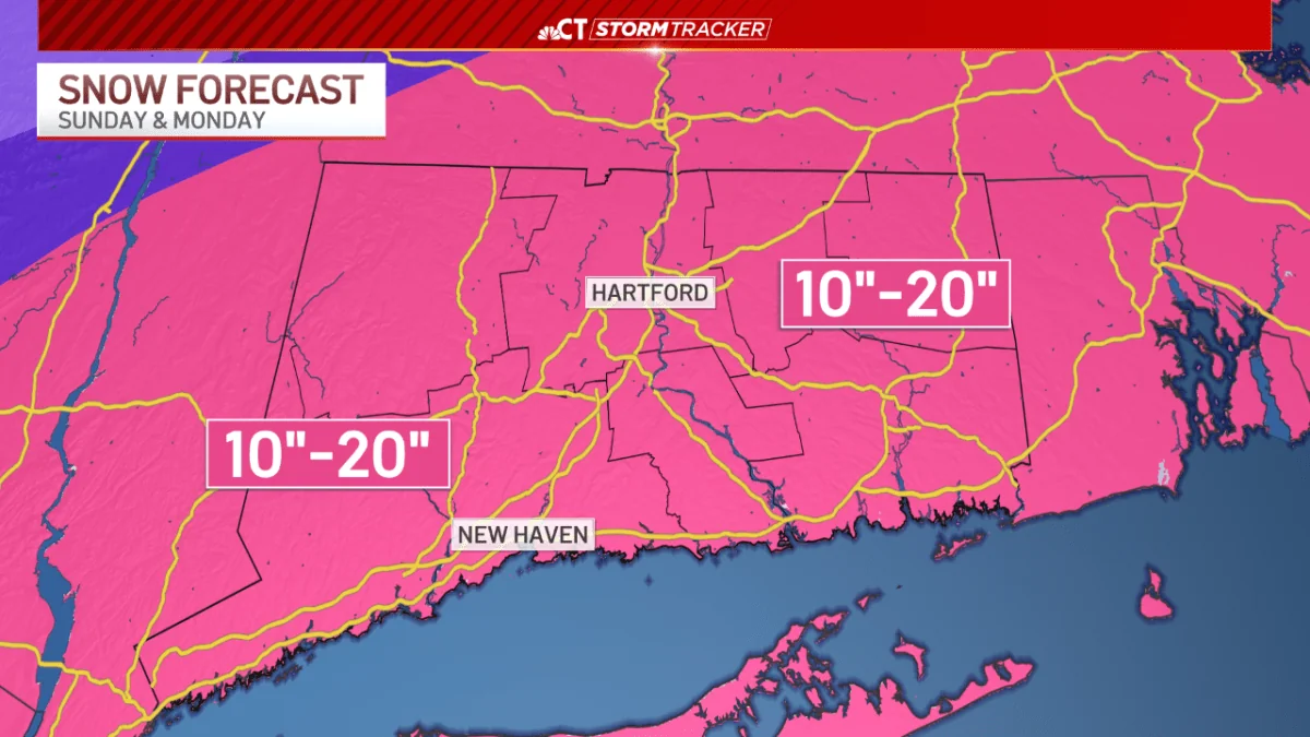
- Heavy snow expected to accumulate 10-20 inches across the state.
- Wind gusts could reach up to 60 miles per hour, especially at the shoreline and eastern Connecticut.
- Potential for scattered power outages due to strong winds.
The Storm is Moving In
Blizzard conditions are sweeping through Connecticut, bringing with it a heavy snowfall that has residents bracing themselves. STORMTRACKER reports that blizzard warnings are now in effect for the entire state and will continue until Monday evening.
Heavy Snow Expected
While we’ve seen scattered light snow showers so far today, the situation is quickly escalating. Heavy snowfall is predicted to begin this evening and persist through Monday morning before gradually tapering off by afternoon. According to the latest forecast, 10-20 inches of snow are expected to accumulate across Connecticut, with a few areas potentially seeing totals closer to two feet.
Wind Gusting at 60 Miles Per Hour
The wind is not going to be an idle spectator in this storm. Peak gusts could reach up to 60 miles per hour between 3 am and 10 am on Monday morning, with the strongest gusts hitting the shoreline and eastern Connecticut. These strong winds pose a serious threat of whiteout conditions across the state, reducing visibility and increasing the risk of power outages.
Local officials are already taking precautionary measures.
Lamont has declared a state of emergency ahead of the storm and issued a commercial vehicle ban on highways to ensure safety. Residents are advised to stay indoors as much as possible and prepare for potential disruptions in services due to the harsh weather conditions.
A Forecasted Nightmare
While the snowfall and wind gusts are concerning, the real nightmare is the potential impact on daily life. Power outages could affect thousands of households, leading to a widespread disruption of normal routines. Commuters should expect significant delays if they venture out during the storm.
The weather forecast for tomorrow suggests that winds will die down by late Monday night and into Tuesday, but the immediate concern is the impact on Monday morning.
Weather experts are urging residents to stay informed through STORMTRACKER updates and local news channels for real-time information as conditions evolve.
So, you might think this is just another winter storm, but it’s shaping up to be one of the more intense ones Connecticut has seen in recent years. Stay safe out there, folks.